 |
Isis 3 Programmer Reference
|
 |
Isis 3 Programmer Reference
|
The visual display of the find point. More...
#include <GridGraphicsItem.h>


Public Member Functions | |
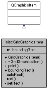
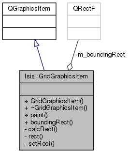
| GridGraphicsItem (Latitude baseLat, Longitude baseLon, Angle latInc, Angle lonInc, MosaicSceneWidget *projectionSrc, int density, Latitude latMin, Latitude latMax, Longitude lonMin, Longitude lonMax) | |
| void | paint (QPainter *, const QStyleOptionGraphicsItem *, QWidget *widget=0) |
| virtual QRectF | boundingRect () const |
Private Member Functions | |
| QRectF | calcRect () const |
| QRectF | rect () const |
| void | setRect (QRectF newBoundingRect) |
Private Attributes | |
| QRectF | m_boundingRect |
The visual display of the find point.
2011-05-10 Steven Lambright - Fixed problem with boundingRect()
2012-07-10 Kimberly Oyama - Added the latitude and longitude extents as parameters to the constructor to support the new grid functionallity of user specified extents (map projection, bounding rectangle of the open cubes, manually entered). Also modified the constructor so it can handle drawing grids for both planetocentric and planetographic latitudes. Fixes #604.
2013-02-06 Steven Lambright - Added a safety check to make sure the increments aren't zero or negative. References #1060.
2013-03-06 Steven Lambright - Added support for getting target radii from the TargetName mapping keyword if the target radii keywords are missing. References #1534.
2016-05-18 Ian Humphrey - Made the latitude and longitude lines explicitly cosmetic so they always appear as 1 pixel wide on screen (Qt4 to Qt5).
Definition at line 40 of file GridGraphicsItem.h.